
Hiking
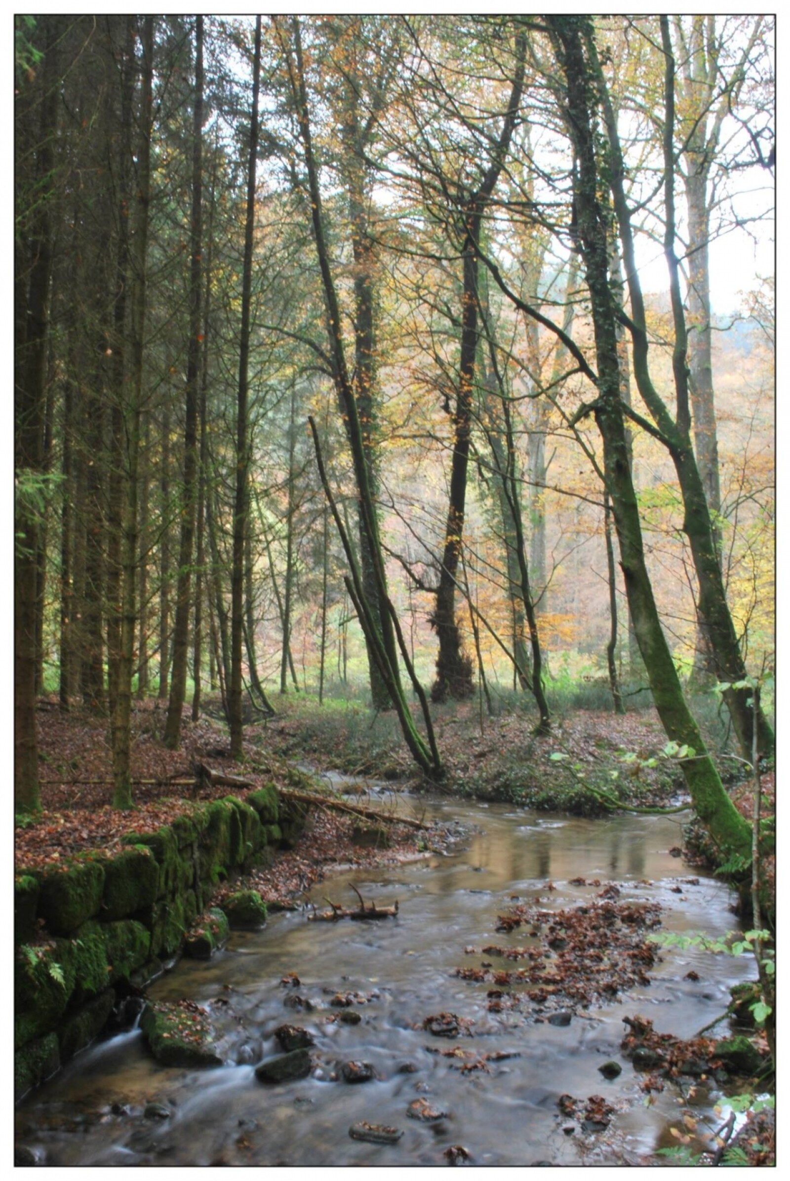
The town of Beaufort and the entire region of Mullerthal offers many hiking possibilities for novice and accustomed. You will find hiking maps at the tourist office in Beaufort.
| Walking trails around: Beaufort |
Walking trails around: Dillingen |
Fascination rocks
On a length of more than 112 km, the Mullerthal Trail passes through all the natural particularities of the Mullerthal Region – Luxembourg’s Little Switzerland. Natural paths are leading through forests and pastures and can be combined with impressive canyons and bizarre rock formations.
The 3 routes of the Mullerthal Trail each have their own character. The Mullerthal Trail meets the quality standards of modern hikers, with its mapped out, close-to-nature paths, beautiful views, natural attractions and constantly signposted tracks. In addition to this you find an extensive network of attractive local hiking trails. Selected tracks and circular hiking routes invite you to explore the region along the Sûre, the Black Ernz and the White Ernz. Guided hikes are also offered.
The trail is enhanced by the 4 Extratours which include additional interesting hiking routes.
New quality label
On January 17, 2014, the European Federation of Ramblers officially conferred to the Mullerthal Trail the label "Leading Quality Trails - Best of Europe". The certificate is valid for three years and guarantees a high hiking-quality on the Mullerthal Trail.